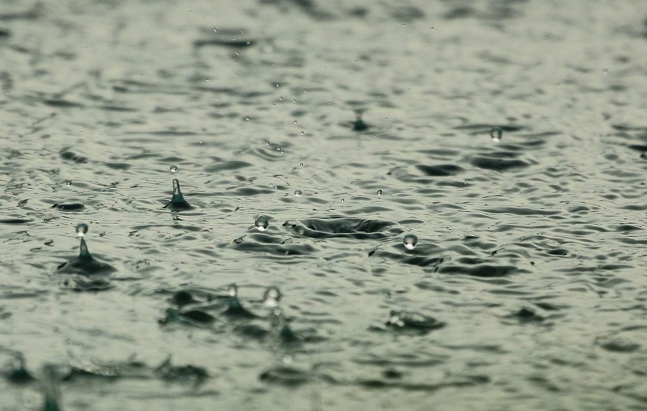
Whether it's a thunder shower or a drizzle on your glasses – Rain brings evaporated water back down to earth. Sometimes it is eagerly awaited, other times every liter is too much of a good thing. Rain seems trivial, but the opposite is true!

What is rain and how does it form?
The answer seems simple: Rain is the liquid form of precipitation and consists of water and fine aerosols – known as condensation nuclei. They can be of natural or artificial origin (such as whirled up dust, salt, volcanic ash or soot particles from combustion processes...). High-purity water does not freeze at 0 degrees, but can still be liquid at sub-zero temperatures. The condensation nuclei prevent this, the water vapor condenses and accumulates on the fine particles. The first fine droplets are formed. However, these are still very small at the beginning and remain in suspension. Clouds form, but not every cloud brings rain. There are two different mechanisms that lead to the growth of the droplets.

Fig. 1: Comparison of the different dimensions of cloud and raindrops; Source: Wikipedia
Coalescence
It sounds complicated, but it is easy to understand. The fine floating water droplets touch each other and merge to form larger ones. These larger droplets collect more and grow as a result. At some point they are so large and heavy that they can no longer be kept in suspension by air circulation. They fall to earth as raindrops. Whether they get there, however, depends on other conditions. If the air under the cloud is dry enough and the fall path is long enough, these drops can evaporate again on their way down. However, this makes the air more humid, which makes it easier and easier for the following raindrops to reach the ground. This process dominates in warm clouds.
Bergeron-Findeisen process
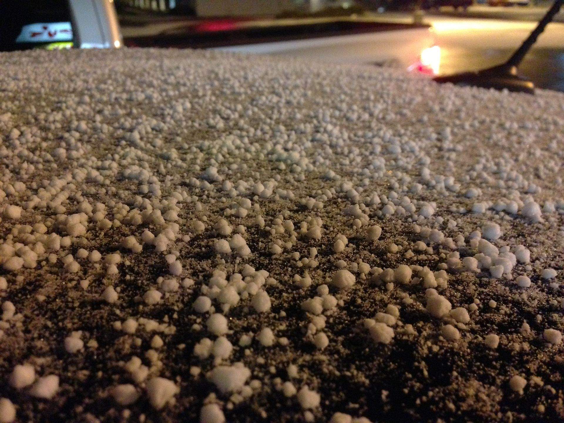
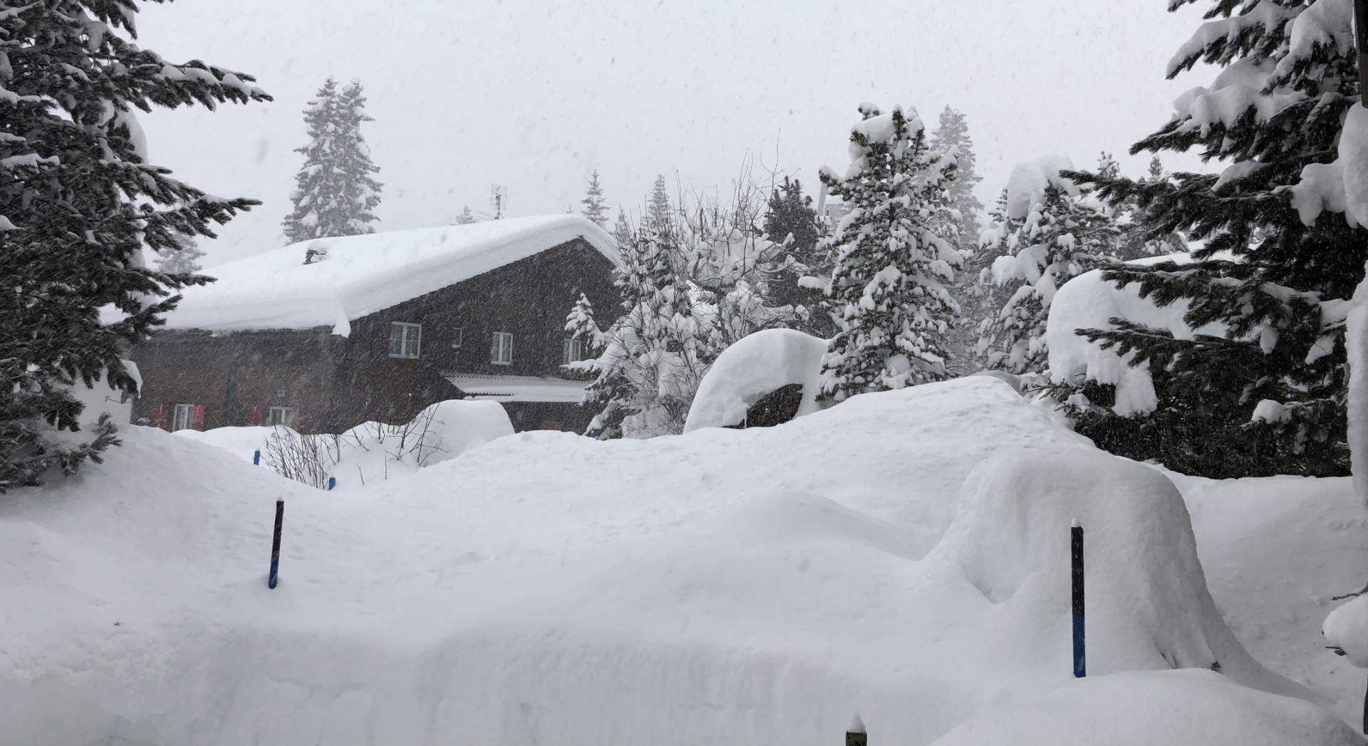
In reality, however, it is often cold enough in clouds for ice crystals to be present alongside supercooled water droplets – so-called mixed clouds. The saturation vapor pressure above ice is lower than that above water, so the ice crystals grow at the expense of the droplets (which evaporate and the water vapor is subsequently deposited as ice on the crystal lattice). If the ice crystals become large enough, they also begin to fall. If it is cold enough, they combine with other crystals to form larger snowflakes. Otherwise they melt and become raindrops. If the updrafts in the cloud are strong enough (such as in a thundercloud), they carry the drops and snowflakes upwards again, where they merge with other ice crystals to form grains – and hail is formed. This alternation of falling, melting and rising again can be repeated countless times. The hailstones grow in size and, like an onion, new shells continue to form. Thawing hailstones form the typical large drops in a cloudburst.
Size and shape
There is quite a wide range here, from very small to large. A typical raindrop has a diameter of between 0.5 and 1 mm. The example would be the typical land rain, uniform and long-lasting. The falling speed is then in the region of around 3 m/s. If the droplet diameter is smaller, it is more likely to be drizzle with a lower falling speed. In a downpour or cloudburst, the drops reach diameters of several millimeters, but the upper limit is around 6 to 8 mm. The drops cannot get any larger, as the higher weight also increases the falling speed. Small drops are almost round due to the surface tension of the water (like a kind of rubber skin). However, as the drops become larger and fall faster, the forces of the incoming air also increase. It deforms the droplet more and more, it becomes flatter and finally takes on a kind of parachute shape. Once it reaches a certain size, it is torn into smaller drops. If the further downward path is still long enough, these can also grow again via coalescence.

Fig. 2: Illustration of the changing shape of a raindrop of different sizes; Source: Deutscher Wetterdienst DWD
Not all rain is the same
Rain is by definition liquid, at least at the time it touches the earth's surface. However, the processes that lead to rain can be quite different. Rain is also classified according to duration, intensity and regional occurrence.
- Incline rain: Here, moist air is dammed up against an obstacle (such as a mountain range) or forced to rise.
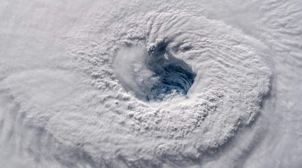
- Convection rain: A typical example is rain showers or thunderstorms. They are highly inhomogeneous in terms of region and intensity
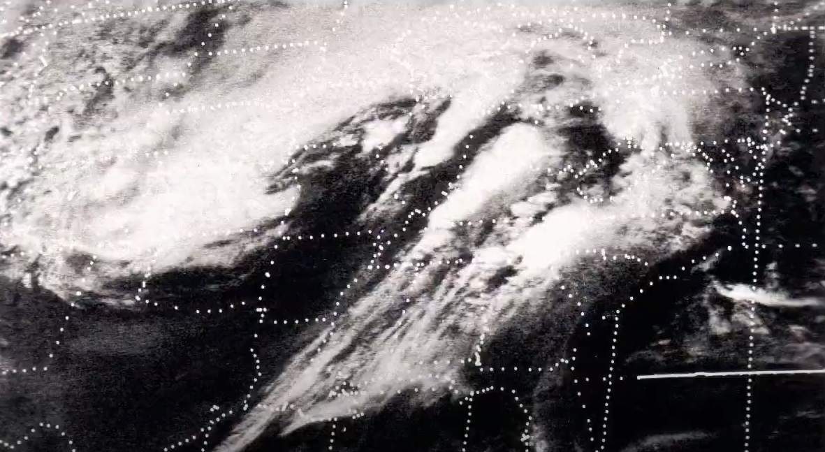
- Frontal rain: Rain that forms along shifting air mass boundaries (warm and cold fronts and occlusions)
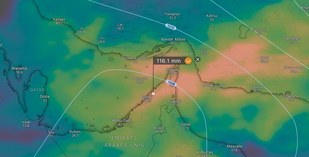
Rain measurement
Rain is measured using an ombrometer. This registers the height of the rain that collects in an appropriately designed container. The rain height is 1:1 equivalent to the amount of rain, whereby the rain height is given in millimeters and the amount of rain in liters per square meter. If you pour one liter of water into a container with a base area of one square meter, it will be one millimeter high.

Fig. 3: Precipitation gauge with wind shield; Source: Wikipedia
Petrichor
Under certain circumstances, rain also has a typical odor called petrichor. Click on the link to read the corresponding article.
Haftungsausschluss
Der Inhalt dieses Artikels wurde mindestens teilweise computerunterstützt aus einer anderen Sprache übersetzt. Deshalb sind grammatikalische Fehler oder Ungenauigkeiten möglich. Bitte beachten Sie, dass die ursprüngliche Sprachversion des Artikels als massgeblich angesehen werden sollte.